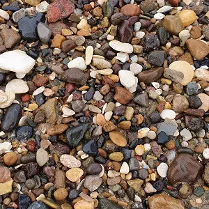
Holderness Inshore MCZ is a constantly-changing mix of rock, mud and soft sandy sediments
Uniquely characterised on the Yorkshire coast by extensive soft sediments and an ever-evolving landscape, the Holderness Inshore MCZ releases significant quantities of mud and sand into the North Sea each year. The sediment helps to create Spurn Head, providing protection for the Humber Estuary, as well as the shores and beaches of Lincolnshire.
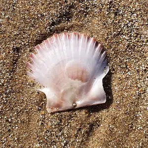
The intertidal mud and sand are home to many species of worm, bivalves and small crustaceans, which are often buried in the damp sand. Just offshore in deeper waters, the site also supports commercially-important fish and shellfish species.
Map of the MCZHow is the MCZ managed?
Most marine and coastal activities in the area are already managed by relevant organisations. This includes inshore fisheries, such as catch limits and methods of fishing, which are managed by the North Eastern Inshore Fisheries and Conservation Authority (NEIFCA). On the terrestrial side, the local authority (East Riding of Yorkshire Council) manages the eroding coastline in line with the Shoreline Management Plan. Holderness Inshore MCZ encompasses a significant part of the East Riding coastline, including some nationally-important infrastructure. Natural England produces Conservation Advice for the MCZ, and various national regulations are in place to assess any impacts of local developments on the site’s features.
This activity-specific management works to reduce any negative impacts on the site, however the MCZ is also considered by the YMNP’s Marine Protected Area (MPA) Management Group. This group works to ensure that Yorkshire’s MPAs are managed appropriately, and that each protected area is considered both individually and on an ecosystem-scale. By working collaboratively, we can share our ideas and knowledge across the region, which helps to make sure that any management issues are dealt with effectively and consistently.
Managing coastal changeFeatures of the MCZ
The protected features of the MCZ are intertidal and subtidal rock, sand and sediments, which are important elements of the regional marine ecosystem. The protection also extends to the subtidal elements of Spurn Head, which is a unique and dynamic geological feature in it’s own right. The intertidal sand and mud may look lifeless, but it is home to a diverse mix of small creatures that thrive in the damp, dark sediment. These worms, invertebrates and snails provide an important food source for wading birds, such as sanderling, as they scurry between the waves. The ever-changing clay cliffs regularly deposit new material, and nutrients, onto the beach, sometimes revealing hidden fossils and evidence of ancient communities.
Beneath the waves, the sediment at the bottom of the shallow sea provides a mosaic of different habitats for commercial fishing species, including crabs and lobsters, and encrusting species like sponges and algae. The wave action and currents in this area help to move sediments away from the shore and down towards Spurn, the Humber Estuary and further south. Whilst this reduces visibility locally, it is a vital element of the east coast’s marine ecosystems.
MCZ FactsheetLinked projects and further information…