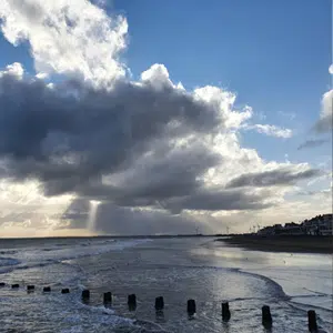
The Holderness coast in East Yorkshire is recognised as the fastest eroding coastline in Europe, where the cliff-line is retreating by about 4 metres per year. Annually, this releases significant quantities of material into the sea which is carried south to Spurn Point and Lincolnshire; helping to create vital ecosystems elsewhere along the North Sea coastline.
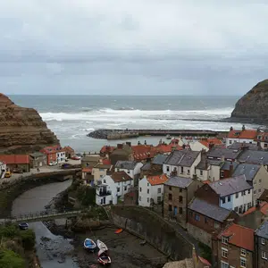
Watch our animation ‘Super Sediments’Local authorities and the Environment Agency manage our changing coastline through Shoreline Management Plans (SMP). These plans set out how coastal infrastructure and natural habitats will be managed in the short, medium and long terms. The Yorkshire coast is split into two SMP areas: The Tyne to Flamborough Head and Flamborough Head to Gibraltar Point. To inform these plans and manage individual areas of sensitivity, partners collect regular data on the coastal environment and the changing landscape.
To explore this data and other coastal change information, please visit the North East Coastal Observatory or the Coastal Explorer.
You may also be interested in…